After a great visit to Mesa Verde National Park, Bill got to ride the new mountain bike trails outside of Cortez Colorado. These are called “Phil's World”. They were not that technical, but very flowy. The section called the “Rib Cage” was, well , exceptional. We took off north from Delores and and found a nice remote Forest Service campground around 10,000 feet altitude. There were only three campers in the place and the lonely “camp host” was kind of a nuisance. He became worse than a nuisance, when a young bull moose wandered into the campground and as all of us scrambled for our cameras, this idiot ran to his truck, started the motor, revved it and scared the moose away. First fact, moose can be dangerous when they are cows with calves, but a lone bull fifty yards away is no threat at all. I asked this hero why he scared it away and he said, “because they are dangerous”. I do not think that he had ever seen one before. ( Moose in southern Colorado are still quite rare). One of the other campers had a simpler explanation, “That guy is from Texas”.
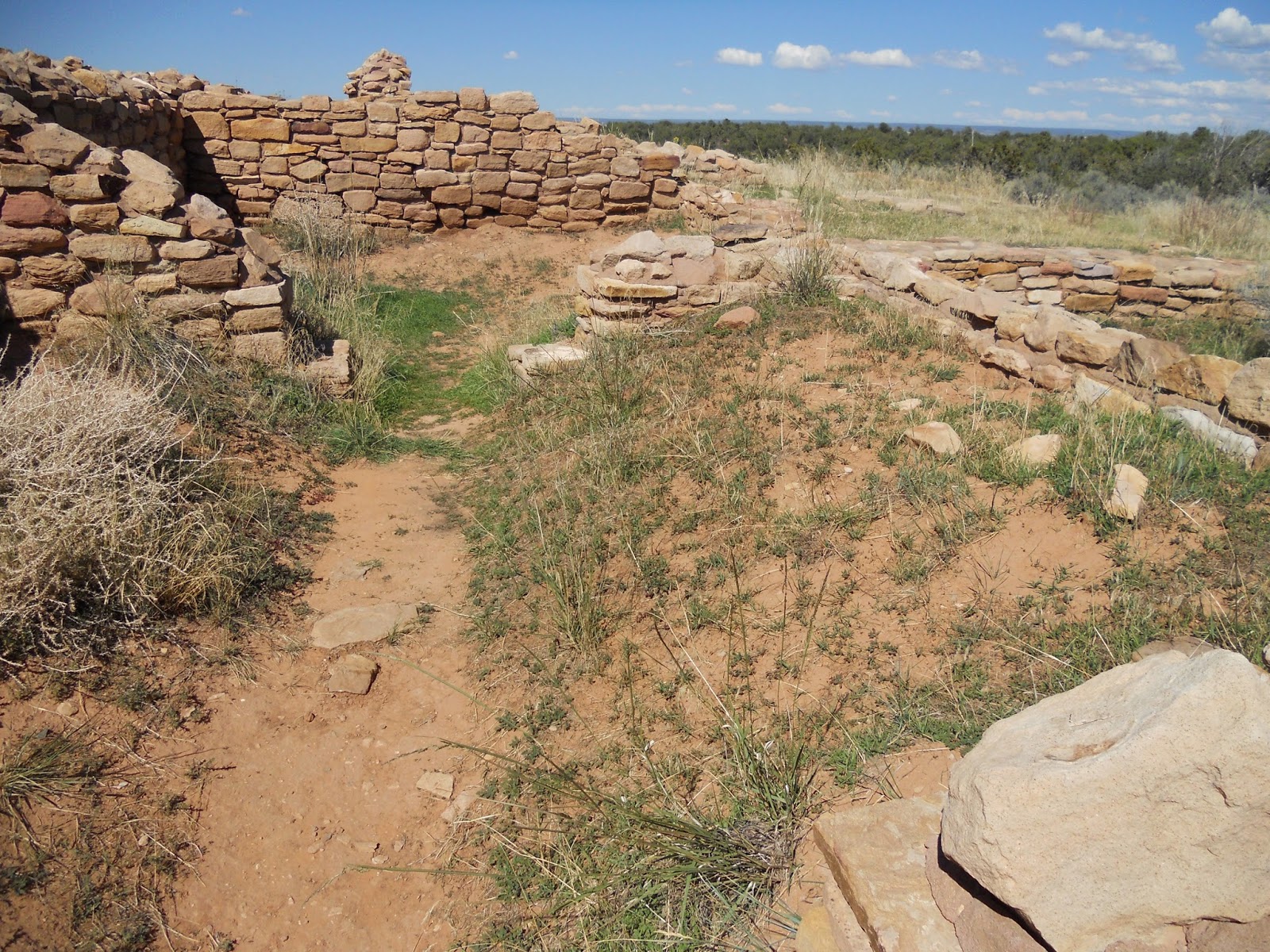
We headed south to the Lowry Ruins near in the Canyon of the Ancients National Monument. This was an interesting, well preserved pueblo way down a dirt road.
We then dropped down into New Mexico and spent the night at Echo Amphitheater. This natural rock amphitheater would echo everything that you said or yelled. We were the only people in the campground (which is not that unusual for us.) Debbie announced that we we were having steaks for dinner and so of course, I had to cook them on a pinon pine and sage brush fire that I started Indian style.
We took a back road to Villaneuava State Park in New Mexico, stopping for an incredible lunch at the Riza Cafe. The burrito would have fed at least two ranch hands. We boxed the leftovers and had them for dinner. Villaneuava State Park was a funky little campground next to the Pecos River. This famous river is about six inches deep here. We did some hiking.
We continued on to the Pecos National Historical Park. This was a pueblo ruin that was fascinating because the Spaniards had conquered the local Indians and forced them to convert part of their pueblo into a Catholic church.
We blew through the Texas panhandle (past the world's biggest cross) and spent nights in Oklahoma, Arkansas and Tennessee. In Arkansas, we went to Hot Springs National Park, which was our 41st (out of 58) National Parks. It was really weird since there is no entry gate and the whole park consists of four renovated bathhouses from the early 20th century and some park lands with a few hiking trails. We think that this should more accurately be designated a national historic site. Nevertheless we had an interesting tour of one of the famous bathouses and drank from some of the famous springs with purportedly healthful attributes.
Our last night out was at the Cosby Campground in Smoky Mountain National Park where we traditionally spend our last night before getting home. We rolled in to this almost vacant campground and picked a site. Very quickly the campground host pulled up and told us that the site was “reservable” and so we could not stay there. I observed that it was highly unlikely that anyone would be reserving that campsite on a Thursday night in an almost empty campground. After driving nearly 400 miles, I was not in the mood to roll over and so we basically told them that we would do whatever we were going to do. They kept coming by to check up on us and of course no one came into that site that night. They basically spent all day driving their SUV around and around the camp loops looking and checking on people. You could walk the whole campground in a few minutes. Most campground hosts that we have met ( and we have camped more than 500 nights) have been great, but these were extremely annoying.
The map of our trip is below.